Welcome to Reference Mark Land Surveying
“Your Benchmark For Success”
Mark A. Indzeris, L.S.
8330 Ark Road, Gloucester, VA 23061


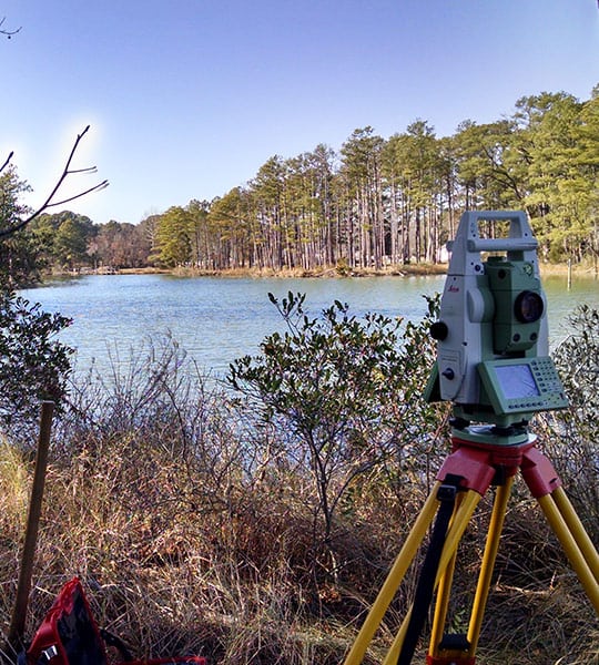
Land surveying has been defined as the art of making accurate and precise measurements on or about the surface of the earth. That is only a single part of what a Land Surveyor does. A surveyor is also a collector of evidence. In order to retrace boundary lines, a surveyor must use accurate measurements to collect evidence as to the location of the “true” boundary line. Most surveys today are actually “retracement surveys” by the fact that a survey had been performed in the past by an original surveyor. Due to the effects of time, nature, and man the original evidence of the boundary become obscured and sometimes completely lost.
The original evidence of the boundary are the monuments (natural and artificial) found and set by the original surveyor. Other evidence of the boundary are the lines of occupation or what the adjoining land owners recognize to be the line (known as acquiescence). A Land Surveyor takes into account this evidence (from the physical evidence), evidence from the written record (deeds and plats), and parole (verbal) evidence in order to perform a survey. After consideration of all these elements, the surveyor makes a decision as to the boundary line and reports his finding in the form of a plat.
